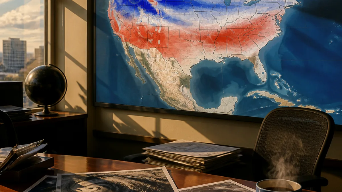
The likely strong El Niño this winter is expected to alter storm tracks and precipitation patterns across the United States, and new maps produced by CNN Weather using NOAA data outline where snowfall historically has tended to be above or below normal during El Niño years.
How El Niño changes winter patterns
El Niño is a climate pattern defined by unusually warm water in the central and eastern tropical Pacific Ocean. That extra heat typically shifts the winter jet stream southward and eastward across North America, which can favor wetter conditions in large portions of the country while leaving much of the far north drier and milder.
The CNN analysis examined January-through-March snowfall from 1959 through 2026 and compared past El Niño winters with long-term averages after controlling for broader trends in snowfall. The analysis describes historical relationships rather than making a deterministic forecast for this season.
“They’re very strong, energetic and they’re very wet,” Jon Gottshalck, chief of the Operational Prediction Branch of NOAA’s Climate Prediction Center and lead forecaster for the agency’s winter outlook this year, said of nor’easters during El Niño winters.
Regions more likely to see heavy snow
The historical relationship shown in the maps points to several areas that have tended toward above-average snowfall during El Niño winters:
- The southern United States, including parts of the Southwest and the southern Plains.
- The southern Rockies, where increased storminess can boost mountain snowfall.
- The southern Appalachians and Mid‑Atlantic, where coastal storms and nor’easters have been “juiced” by El Niño and can produce heavy, wet snow in some years.
The maps also underscore an important caveat: a wetter winter does not automatically mean a snowier winter. Snowfall requires sufficiently cold air, so if temperatures are warmer than average, increased precipitation may fall as rain instead of snow in many locations.
The CNN analysis cautions that the historical patterns are useful context but do not predict exact amounts or locations of snow this winter. Forecasters at NOAA and regional forecast offices will issue operational winter outlooks and short-term forecasts as the season progresses and storm tracks become clearer.
Key sources for the analysis include NOAA climate data and commentary from the Climate Prediction Center, with the maps produced by CNN Weather to illustrate how past El Niño winters varied from average after adjusting for long-term changes in snowfall.