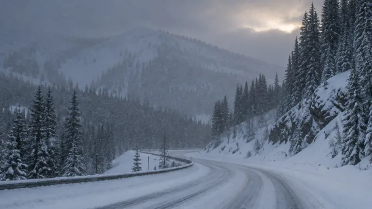
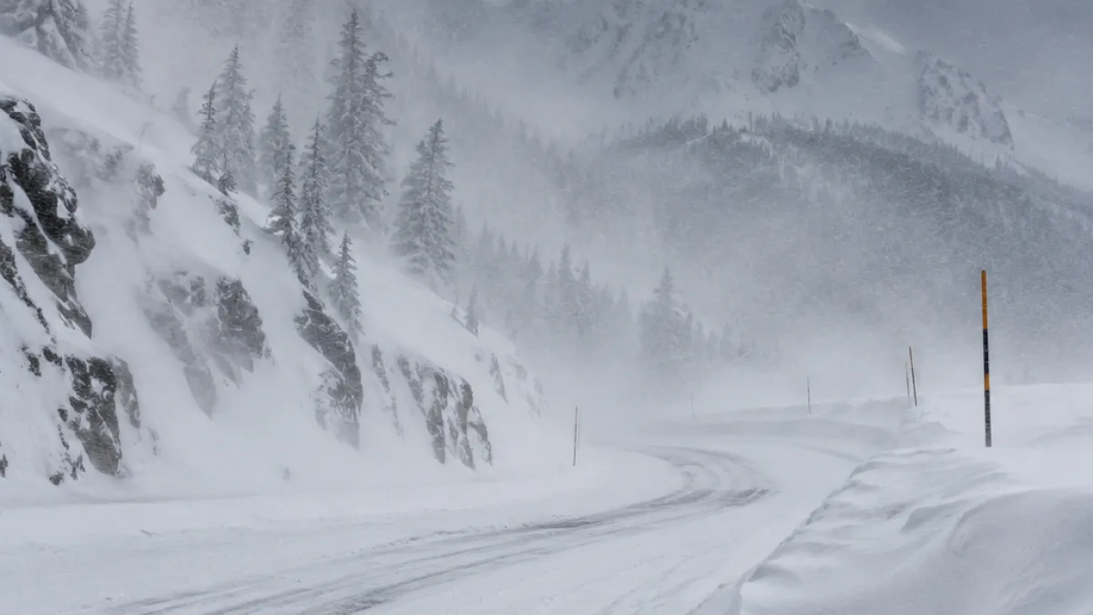
Winter storm warnings are in effect for high-elevation routes across parts of the West, where forecasters expect heavy snow, strong winds and difficult travel through Monday. The most significant accumulations are expected in Colorado’s San Juan Mountains, with as much as 18 inches of snow forecast above 10,000 feet.
The National Weather Service office in Grand Junction said its warning for the northwest and southwest San Juan Mountains began Sunday morning and continues until 2 p.m. ET Monday. The warning covers areas near Telluride, Ouray, Silverton, Lake City, Rico and Hesperus, as well as Red Mountain, Molas, Coal Bank and Lizard Head passes.
Forecasters expect 12 to 18 inches of snow in the highest elevations in that part of Colorado, with locally higher amounts possible. Winds could reach 45 mph, creating blowing and drifting snow and reducing visibility on mountain roads. The Grand Junction office upgraded the area from a winter storm watch on Saturday morning.
Warnings extend across southern Colorado
The National Weather Service office in Pueblo issued a separate warning for the eastern San Juan Mountains above 10,000 feet. It begins Sunday evening and remains in effect until 1 p.m. ET Monday. The warning includes Wolf Creek Pass and Cumbres Pass, where forecasters expect 8 to 14 inches of snow and wind gusts of up to 50 mph.
Pueblo forecasters identified Sunday night and Monday morning as the period of greatest travel concern in that area. The combination of snow, wind and drifting could affect portions of U.S. 160 over Wolf Creek Pass and other high-elevation corridors. The warnings apply to the designated mountain zones rather than every nearby community or lower-elevation road.
- Northwest and southwest San Juan Mountains: 12 to 18 inches above 10,000 feet, with locally higher totals and gusts to 45 mph.
- Eastern San Juan Mountains: 8 to 14 inches above 10,000 feet, with gusts to 50 mph.
- Warning period: Conditions continue into Monday afternoon in western Colorado and into Monday afternoon in the eastern San Juans.
Additional winter alerts in the West
Winter weather alerts are also posted in Utah, Wyoming, Idaho, Nevada and California. The National Weather Service office in Elko, Nevada, issued a warning for the Ruby Mountains, including higher portions of State Route 229 through Secret Pass, Lamoille Canyon and Harrison Pass. Forecasters there called for 12 to 16 inches above 7,500 feet and 8 to 12 inches between 6,500 and 7,500 feet, with the warning continuing through Sunday evening Pacific time.
Colorado transportation officials have specific guidance for truck traffic on Wolf Creek Pass, where the roadway descends at a 7% grade for more than eight miles from the summit. The Colorado Department of Transportation advises drivers to check their brakes before descending, maintain a low speed in a low gear and avoid riding the brakes, which can cause them to overheat. The summit’s wide shoulder serves as a chain-up area for traffic in both directions.